School nearby St. Joseph's H. S. School
Nepal
School nearby St. Joseph's H. S. School
St. Joseph's H. S. School
Biratnagar 56613, Nepal
contacts phone
:
+977 21-536423
Latitude:
26.4666671
, Longitude:
87.2879682
larger map & directions
read more
nearest School
710 m
St. Mary's School
Biratnagar
School
read more
1.884 km
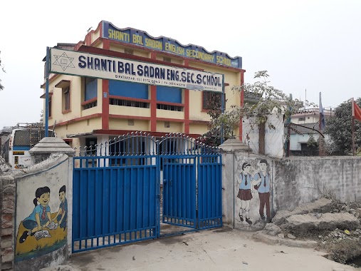
Shanti Bal Sadan English Secondary School
Biratnagar
School
read more
1.913 km
Orchid Public Higher Secondary School
Bhanubhakta Marg, Biratnagar
School
read more
2.035 km
Toddelers Heaven Play Group
Biratnagar
School
read more
2.066 km
Kids Heaven Montessory School
Biratnagar
School
read more
2.131 km
Martyrs' Memorial School
Biratnagar
School
read more
2.255 km
leela hostel
Biratnagar
School
read more
2.255 km
Suncity English Boarding School
Janapath Marg, Biratnagar
School
read more
2.282 km
Janpath Higher Secondary School
Buddha Bihar Marg, Biratnagar
School
read more
2.305 km
Janapath Higher Scondary School
Biratnagar
School
read more
2.307 km
Bhanu Memorial English Boarding School
Surya Marg, Biratnagar
School
read more
2.46 km
Arniko Boy's Hostel
Biratnagar
School
read more
2.526 km
Sagarmatha School
Biratnagar
School
read more
2.571 km
Araniko H. S. School
Araniko Marg, Biratnagar
School
read more
2.571 km
Araniko Higher Secondary School
Araniko Marg, Biratnagar
School
read more
2.666 km
Delhi Public School
Biratnagar
School
read more
3.67 km
Paramount Children Academy, Biratnagar
Tankisinuwari
School
read more
46.065 km
New Amda Hospital
New Amda Road, Damak
Hospital
University
School
Health
Point of interest
Establishment
read more
📑
all categories
Accounting
Administrative area level 1
Administrative area level 2
Airport
Amusement park
Aquarium
Art gallery
Atm
Bakery
Bank
Bar
Beauty salon
Bicycle store
Book store
Bowling alley
Bus station
Cafe
Campground
Car dealer
Car rental
Car repair
Car wash
Casino
Cemetery
Church
City hall
Clothing store
Colloquial area
Convenience store
Courthouse
Dentist
Department store
Doctor
Electrician
Electronics store
Embassy
Establishment
Finance
Fire station
Florist
Food
Funeral home
Furniture store
Gas station
General contractor
Grocery or supermarket
Gym
Hair care
Hardware store
Health
Hindu Temple
Home goods store
Hospital
Insurance agency
Jewelry store
Laundry
Lawyer
Library
Liquor store
Local government office
Locality
Locksmith
Lodging
Meal delivery
Meal takeaway
Mosque
Movie rental
Movie theater
Moving company
Museum
Natural feature
Neighborhood
Night club
Painter
Park
Parking
Pet store
Pharmacy
Physiotherapist
Place of worship
Plumber
Point of interest
Police
Post office
Premise
Real estate agency
Restaurant
Route
Rv park, camping
School
Shoe store
Shopping mall
Spa
Stadium
Storage
Store
Subpremise
Supermarket
Synagogue
Taxi stand
Train station
Transit station
Travel agency
University
Veterinary care
Zoo
administrative area level 3
sublocality level 1
↑