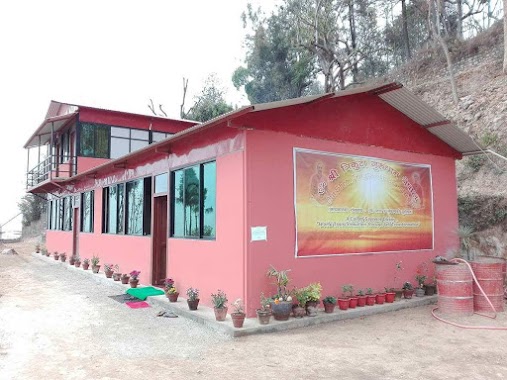
Hindu Temple nearby Shiva temple
Nepal
Hindu Temple nearby Shiva temple
Shiva temple
चक्रपथ, 44600, Nagarjun, Bagmati, NP Nepal
contacts phone
:
+977
Latitude:
27.716581
, Longitude:
85.282832
larger map & directions
read more
nearest Hindu Temple
7 m
Ganesh Mandir
चक्रपथ, Nagarjun
Hindu Temple
read more
218 m
Sri Ganesh
Ring Road, Nagarjun
Hindu Temple
read more
425 m
Om Shree Trikuta Gurudham Nepal
Nagarjun
Hindu Temple
read more
852 m
Shiva Mandir
Nagarjun
Hindu Temple
read more
2.505 km
Bhairav Murti
जिम गल्ली, Kathmandu
Hindu Temple
read more
2.536 km
Raktakali Temple
Chittadhar Marg, Kathmandu
Hindu Temple
read more
2.548 km
Swet Kaali Temple
Gangalal Marg, Kathmandu
Hindu Temple
read more
2.583 km
Karnamai Lokeshowor Temple
योगवीर सिंह मार्ग, Kathmandu
Hindu Temple
read more
2.597 km
Nara Devi Temple/ Niyata Maru Ajima
Naradevi Bhajan Sthal, Gangalal Marg, Kathmandu
Hindu Temple
read more
2.6 km
Nardevi Mandir
Gangalal Marg, Kathmandu
Hindu Temple
read more
2.604 km
Chhaitya
Chittadhar Marg, Kathmandu
Hindu Temple
read more
2.604 km
Naradevi Temple
Naradevi, Kathmandu
Hindu Temple
read more
2.608 km
Nardevi Ajima Temple
Kathmandu
Hindu Temple
read more
2.62 km
Bhairav Mandir
Gangalal Marg, Kathmandu
Hindu Temple
read more
2.622 km
Om Chandra Mauleshworaiya Temple
नरदेवी चोक, Gangalal Marg
Hindu Temple
read more
2.659 km
Devi Mandir
Gangalal Marg, Kathmandu
Hindu Temple
read more
2.662 km
Mandir
योगवीर सिंह मार्ग, Kathmandu
Hindu Temple
read more
2.663 km
Ganesh Mandir
Gangalal Marg, Kathmandu
Hindu Temple
read more
3.577 km
Narayan Temple
Kathmandu
Hindu Temple
read more
3.679 km
Lakshmi Pasi ajima
तीनधारा मार्ग, काठमाडौँ
Hindu Temple
read more
4.06 km
Shree Santoshi Mata Temple
Kathmandu
Hindu Temple
read more
4.131 km
Shree Laxminarayan Temple
हात्तीसार
Hindu Temple
read more
4.204 km
Nandikeshwar Mahadev
भगवती मार्ग, काठमाडौँ
Hindu Temple
read more
4.334 km
Kumari Sthan
Hattisar
Hindu Temple
read more
4.342 km
Ganesh Mandir
Kathmandu
Hindu Temple
read more
📑
all categories
Accounting
Administrative area level 1
Administrative area level 2
Airport
Amusement park
Aquarium
Art gallery
Atm
Bakery
Bank
Bar
Beauty salon
Bicycle store
Book store
Bowling alley
Bus station
Cafe
Campground
Car dealer
Car rental
Car repair
Car wash
Casino
Cemetery
Church
City hall
Clothing store
Colloquial area
Convenience store
Courthouse
Dentist
Department store
Doctor
Electrician
Electronics store
Embassy
Establishment
Finance
Fire station
Florist
Food
Funeral home
Furniture store
Gas station
General contractor
Grocery or supermarket
Gym
Hair care
Hardware store
Health
Hindu Temple
Home goods store
Hospital
Insurance agency
Jewelry store
Laundry
Lawyer
Library
Liquor store
Local government office
Locality
Locksmith
Lodging
Meal delivery
Meal takeaway
Mosque
Movie rental
Movie theater
Moving company
Museum
Natural feature
Neighborhood
Night club
Painter
Park
Parking
Pet store
Pharmacy
Physiotherapist
Place of worship
Plumber
Point of interest
Police
Post office
Premise
Real estate agency
Restaurant
Route
Rv park, camping
School
Shoe store
Shopping mall
Spa
Stadium
Storage
Store
Subpremise
Supermarket
Synagogue
Taxi stand
Train station
Transit station
Travel agency
University
Veterinary care
Zoo
administrative area level 3
sublocality level 1
↑